
Surveyor Elite
Professional-Grade Surveying Platform
The Surveyor Elite is engineered for land surveyors, civil engineers, and geospatial professionals who demand centimeter-level precision from every flight mission. Built around a purpose-designed airframe and an integrated RTK GNSS receiver, it eliminates the need for ground control points in most scenarios — cutting field time by up to 70% while delivering maps that meet strict cadastral and construction-grade tolerances.
RTK Positioning — 2 cm Horizontal Accuracy
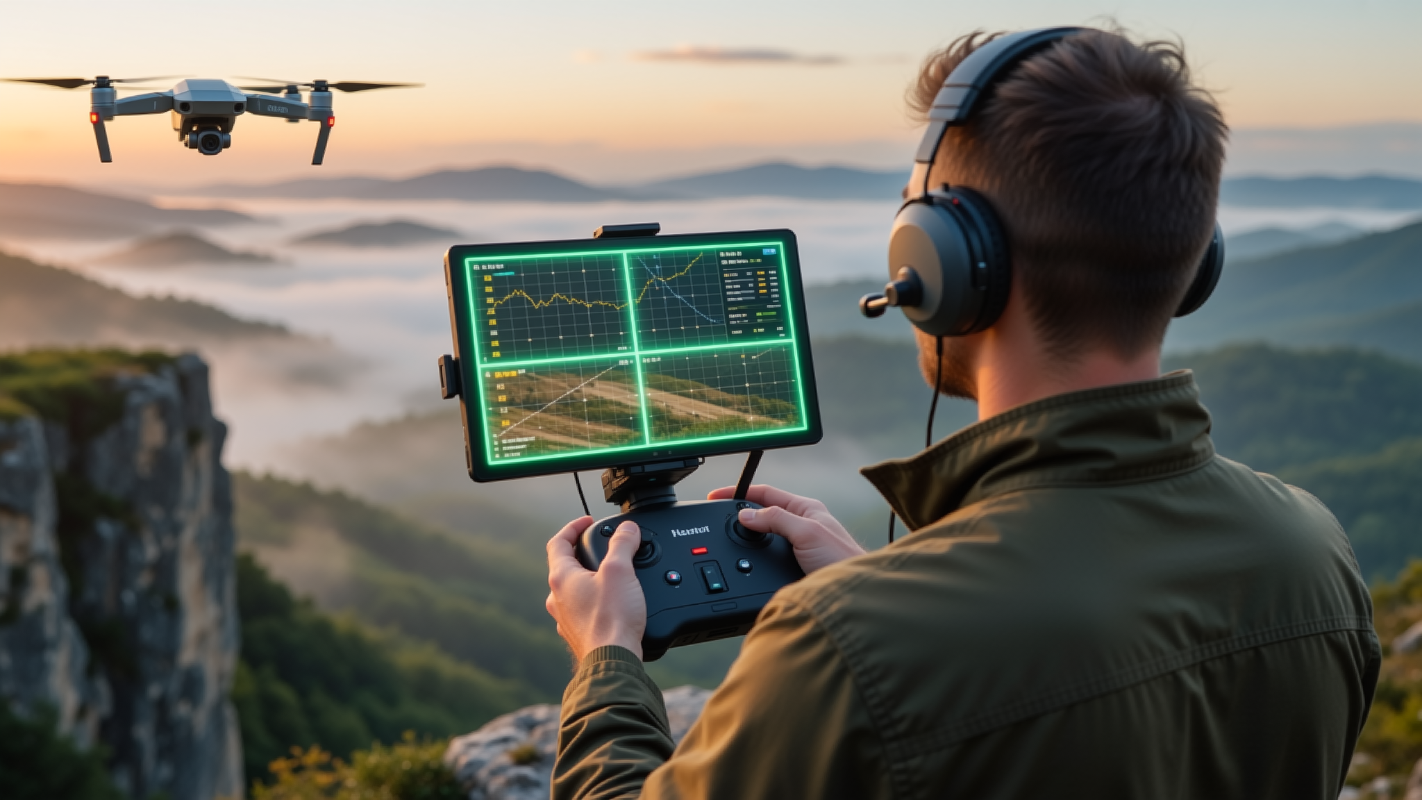
At the heart of the Surveyor Elite lies a multi-constellation RTK GNSS module supporting GPS, GLONASS, Galileo, and BeiDou simultaneously. When linked to a base station or NTRIP caster, the drone achieves 2 cm horizontal and 3 cm vertical positioning accuracy in real time. Onboard dual-antenna heading removes the reliance on magnetometers, ensuring stable orientation even near magnetic disturbances common at industrial sites.
Photogrammetric processing with PPK post-processing support means every image is geo-tagged with survey-grade coordinates. The result: orthomosaics, DSMs, and 3D point clouds that align directly with national coordinate systems — no ground control survey required.
High-Resolution Mapping Payload
A 45 MP full-frame mechanical-shutter camera captures sharp imagery at flight speeds up to 15 m/s. The 35 mm equivalent focal length delivers a ground sampling distance (GSD) of 2.7 cm/pixel at 100 m AGL, ideal for topographic mapping, volumetric calculations, and progress monitoring on large-scale construction and mining sites.

Intelligent Flight Planning
The companion ground station software supports automated corridor mapping, terrain-following flights, and oblique photography missions with a single tap. Import a KML boundary, set your overlap parameters, and the flight plan generates in seconds — complete with battery-aware turnaround logic and failsafe return-to-home waypoints.
Built for the Field
IP45-rated airframe, 55-minute maximum flight time with a full survey payload, and a quick-swap battery system keep you productive from first light to last. The foldable design fits into a single backpack, so your entire survey kit travels light on foot, by vehicle, or by helicopter to remote sites.
