
SiteSurvey Kit
Comprehensive Site Survey Solution
The SiteSurvey Kit delivers a complete professional mapping and surveying workflow for construction, mining, and infrastructure projects. By integrating high-precision aerial data capture with advanced photogrammetry processing, teams can generate accurate topographic models in a fraction of the time required by traditional ground-based methods.
Precision Data Acquisition
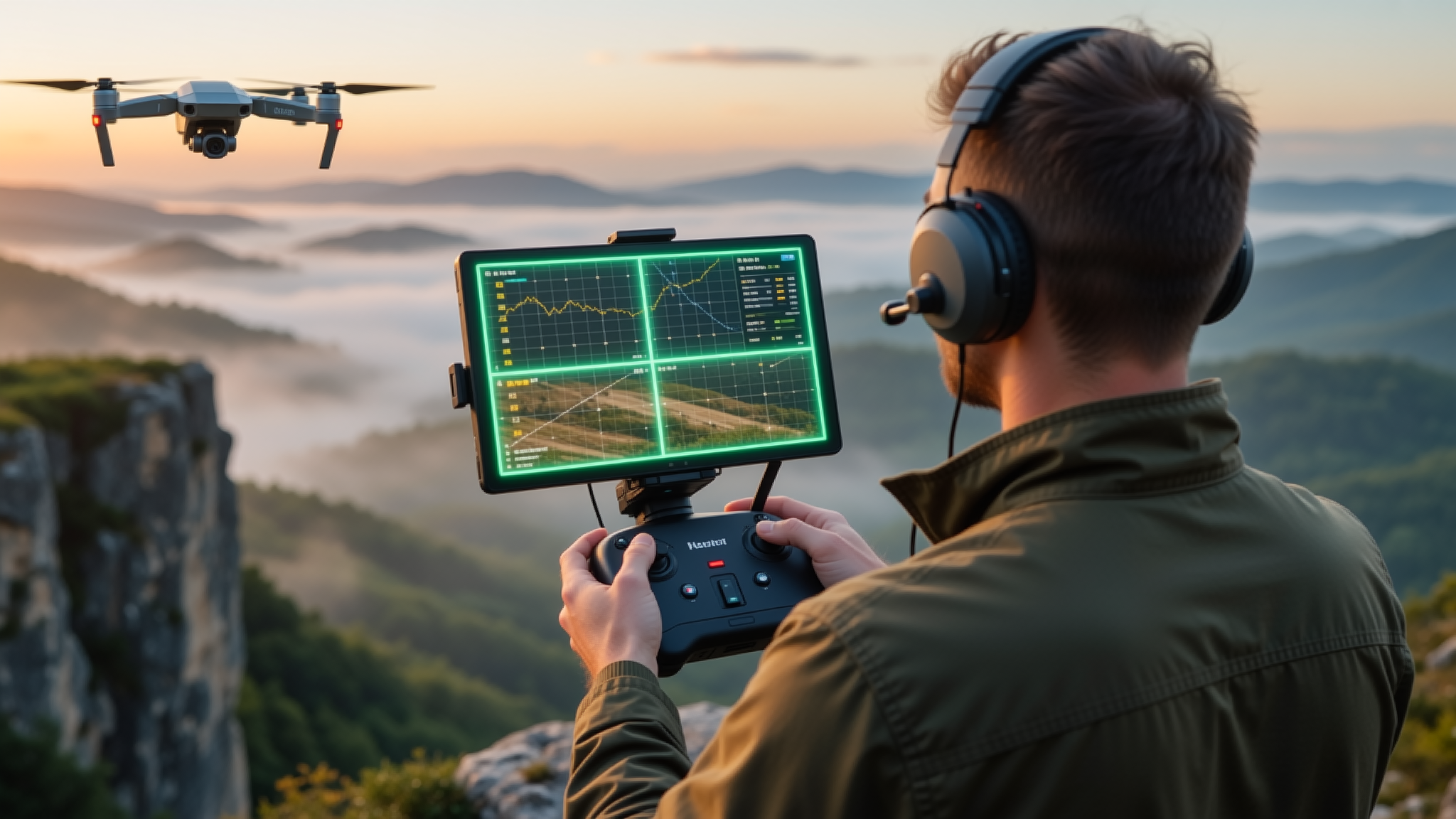
Equipped with RTK-enabled flight controllers and multi-spectral imaging sensors, the SiteSurvey Kit captures georeferenced imagery with centimeter-level accuracy. Automated flight planning ensures complete coverage of even the most complex terrain, while redundant safety systems maintain operational integrity in challenging environments.
Professional Processing Pipeline
Raw imagery is processed through an integrated photogrammetry engine that produces orthomosaics, digital surface models, and 3D point clouds. The output is compatible with all major CAD and GIS platforms, enabling seamless handoff to engineering and design teams without costly data conversion steps.

Real-World Applications
From volumetric calculations on stockpiles to progress monitoring on large-scale construction sites, the SiteSurvey Kit has been deployed across dozens of industries. Surveyors report up to 70% reduction in field time while achieving accuracy that meets or exceeds conventional total station measurements. The kit scales from single-site operations to multi-location enterprise deployments with centralized data management.